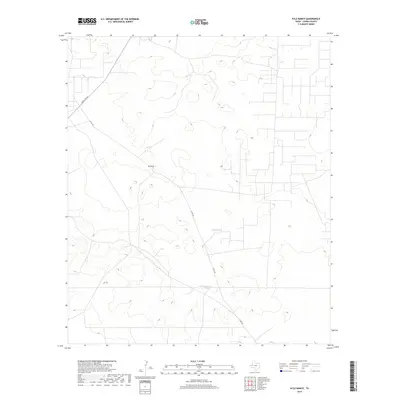
2019 Map of Kyle Ranch
USGS Topo · Published 2019About this map
Kyle Ranch sits at the heart of this Loving County landscape, a region defined by its wide-open range and essential water infrastructure in the high desert of West Texas. The topographic detail highlights the sparse but vital water sources critical for ranching operations, such as Clifton Tank and Hackberry Tank. These features reflect the long-standing reliance on catchment systems in a territory where traditional settlements are few and far between. Modern transportation corridors like Ranch Rd 652 and Co Rd 300 cut through the terrain, providing the primary access to these isolated ranching outposts. This 2019 survey captures the intersection of contemporary road networks with the enduring pastoral footprints of the Texas Permian Basin.
Find a feature on this map
5 named features on this map. Tap any name to fly to it.
Don’t see what you’re looking for? This feature index may not catch every label — zoom into the map to look around manually.
Map Details
Editions of this 2019 Kyle Ranch Map
This is the sole edition of this map. No revisions or reprints were ever made.
Other maps of this area

1931 · Orla
USGS Topo · 1:62,500

1954 · Hobbs
USGS Topo · 1:250,000

1954 · Pecos
USGS Topo · 1:250,000

1957 · Pecos
USGS Topo · 1:250,000

1958 · Hobbs
USGS Topo · 1:250,000

1961 · Orla SE
USGS Topo · 1:24,000

1961 · Lindley Ranch
USGS Topo · 1:24,000

1968 · Orla NE
USGS Topo · 1:24,000

1968 · Phantom Banks
USGS Topo · 1:24,000

1969 · Kyle Ranch
USGS Topo · 1:24,000