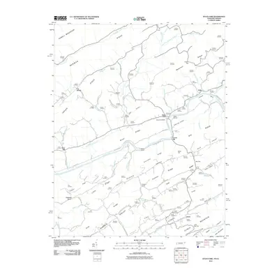
2010 Map of Kyles Ford
USGS Topo · Published 2010About this map
Kyles Ford sits at a strategic crossing of the Clinch River, where the Kyles Ford Bridge and nearby Kyles Shoals connect the communities of Newman Ridge and Kyle Valley. This 2010 survey details a landscape defined by long parallel ridges and narrow agricultural valleys, typical of the Appalachian Ridge and Valley province. In the southern portion of the map, the settlement of Eidson serves as a local hub near Clinch Mountain, anchored by the Eidson Post Office and several family burial grounds including the Brooks Cemetery.
Find a feature on this map
113 named features on this map. Tap any name to fly to it.
Don’t see what you’re looking for? This feature index may not catch every label — zoom into the map to look around manually.
Map Details
Editions of this 2010 Kyles Ford Map
This is the sole edition of this map. No revisions or reprints were ever made.
Other maps of this area

1883 · Morristown
USGS Topo · 1:125,000

1887 · Jonesville
USGS Topo · 1:125,000

1891 · Jonesville
USGS Topo · 1:125,000

1892 · Greeneville
USGS Topo · 1:125,000

1893 · Morristown
USGS Topo · 1:125,000

1894 · Estillville
USGS Topo · 1:125,000

1895 · Morristown
USGS Topo · 1:125,000

1896 · Greeneville
USGS Topo · 1:125,000

1904 · Greeneville
USGS Topo · 1:125,000

1935 · Surgoinsville
USGS Topo · 1:48,000