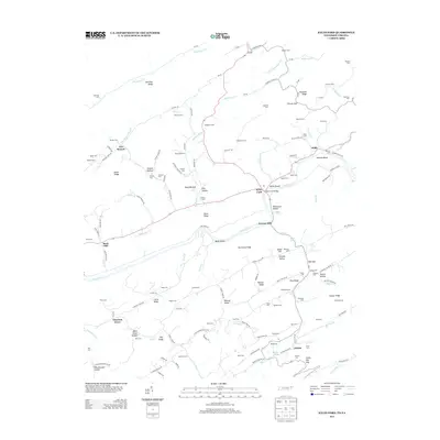
2013 Map of Kyles Ford
USGS Topo · Published 2013About this map
Clinch River defines the lower-lying landscape of this border region between Tennessee and Virginia, winding past Webb Island and through the deep bends of Wallens Bend. The area is characterized by a series of long, parallel ridges like Newman Ridge and Copper Ridge, which contain several gaps and hollows where small settlements and post offices like Eidson and Kyles Ford emerged. The distribution of family-named cemeteries, such as Testerman Cem, Sizemore Cem, and Marcum Cem, provides a detailed record of local genealogy across the rural hillsides.
Find a feature on this map
151 named features on this map. Tap any name to fly to it.
Don’t see what you’re looking for? This feature index may not catch every label — zoom into the map to look around manually.
Map Details
Editions of this 2013 Kyles Ford Map
This is the sole edition of this map. No revisions or reprints were ever made.
Other maps of this area

1883 · Morristown
USGS Topo · 1:125,000

1887 · Jonesville
USGS Topo · 1:125,000

1891 · Jonesville
USGS Topo · 1:125,000

1892 · Greeneville
USGS Topo · 1:125,000

1893 · Morristown
USGS Topo · 1:125,000

1894 · Estillville
USGS Topo · 1:125,000

1895 · Morristown
USGS Topo · 1:125,000

1896 · Greeneville
USGS Topo · 1:125,000

1904 · Greeneville
USGS Topo · 1:125,000

1935 · Surgoinsville
USGS Topo · 1:48,000