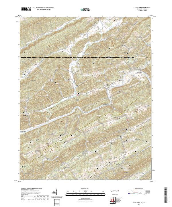
2022 Map of Kyles Ford
USGS Topo · Published 2022About this map
Clinch River snakes through the heart of this landscape, forming the border between Hancock and Hawkins counties as it passes Webb Island and Brooks Island. The terrain is defined by a series of parallel ridges and valleys characteristic of the Appalachian landscape, including Newman Ridge, Copper Ridge, and Hurricane Ridge. Settled along these slopes and watercourses are small communities and family landmarks such as Kyles Ford, Willis, and Eidson.
Find a feature on this map
154 named features on this map. Tap any name to fly to it.
Don’t see what you’re looking for? This feature index may not catch every label — zoom into the map to look around manually.
Map Details
Editions of this 2022 Kyles Ford Map
This is the sole edition of this map. No revisions or reprints were ever made.
Historical Maps of Chestnut Grove Through Time
14 maps found
1935 Back Valley
Hancock County, TN

1935 Kyles Ford
Hancock County, TN

1935 Swan Island
Hancock County, TN
1941 Swan Island
Hancock County, TN
1942 Swan Island
Hancock County, TN
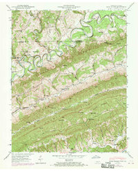
1946 Back Valley
Hancock County, TN
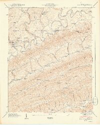
1948 Back Valley
Hancock County, TN
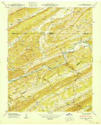
1950 Kyles Ford
Hancock County, TN
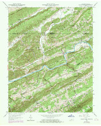
1969 Kyles Ford
Hancock County, TN
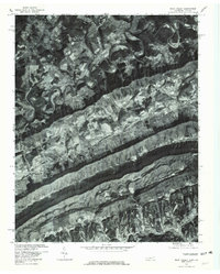
1976 Back Valley
Hancock County, TN
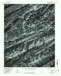
1976 Kyles Ford
Hancock County, TN
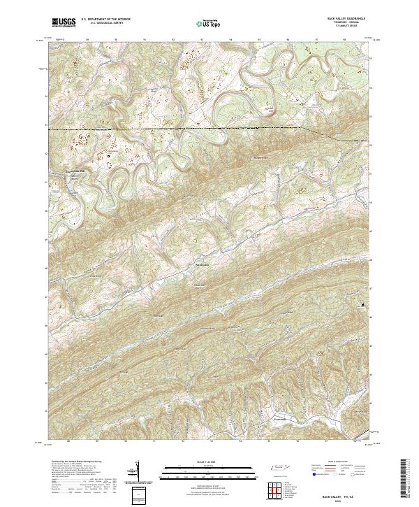
2022 Back Valley
Hancock County, TN
2022 Kyles Ford
Hancock County, TN
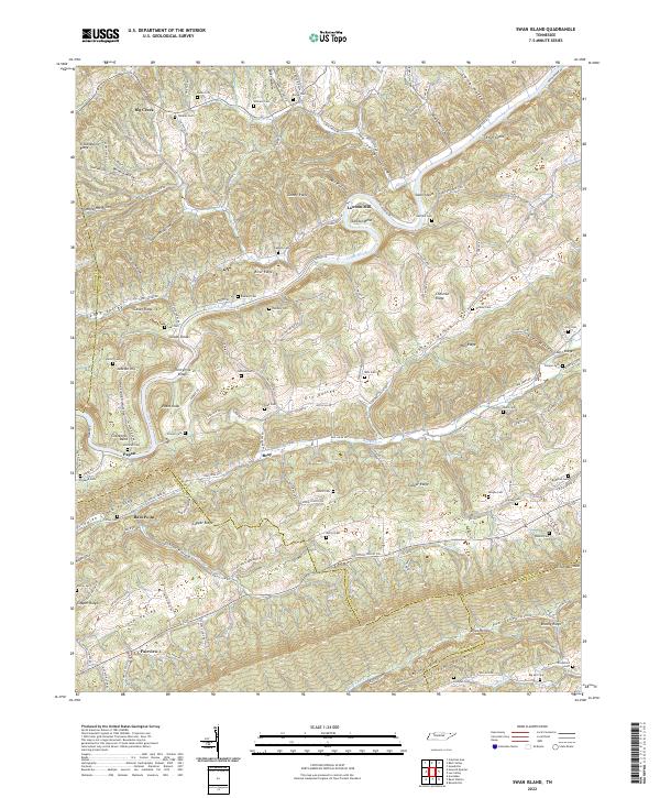
2022 Swan Island
Hancock County, TN