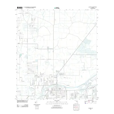
2012 Map of La Belle
USGS Topo · Published 2012About this map
The Caloosahatchee River serves as the primary geographic and economic anchor for the community of LaBelle, shown here just after the first decade of the millennium. The town's grid expands north and south from the river banks, connected by the La Belle Bridge. This region of Florida is defined by its water management and agricultural lands, including the Silver Lake Rnch and the drainage network of Pollywog Creek and Bee Branch.
Find a feature on this map
133 named features on this map. Tap any name to fly to it.
Don’t see what you’re looking for? This feature index may not catch every label — zoom into the map to look around manually.
Map Details
Editions of this 2012 La Belle Map
This is the sole edition of this map. No revisions or reprints were ever made.
Other maps of this area

1956 · Telegraph Swamp NE
USGS Topo · 1:24,000

1956 · West Palm Beach
USGS Topo · 1:250,000

1957 · West Palm Beach
USGS Topo · 1:250,000

1957 · Telegraph Swamp SE
USGS Topo · 1:24,000

1958 · West Palm Beach
USGS Topo · 1:250,000

1958 · La Belle NW
USGS Topo · 1:24,000

1958 · Goodno
USGS Topo · 1:24,000

1958 · Felda NE
USGS Topo · 1:24,000

1958 · Alva
USGS Topo · 1:24,000

1958 · Sears
USGS Topo · 1:24,000