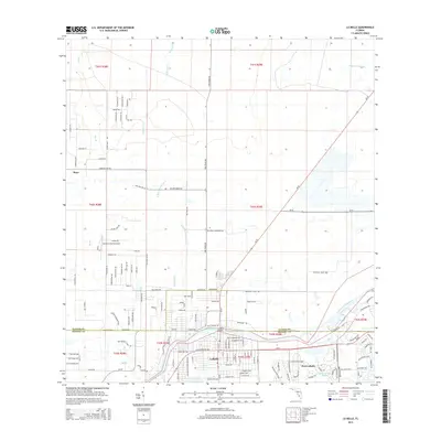
2015 Map of La Belle
USGS Topo · Published 2015About this map
The Caloosahatchee River serves as the central artery for this South Florida landscape, where the town of LaBelle and the developing Port LaBelle are joined by the La Belle Bridge. The map shows a transition from structured town grids to the more open agricultural and drainage-carved lands of the interior. Waterways like Pollywog Cr and the Okaloacoochee Branch weave through the terrain, illustrating the complex hydrology characteristic of the region.
Find a feature on this map
126 named features on this map. Tap any name to fly to it.
Don’t see what you’re looking for? This feature index may not catch every label — zoom into the map to look around manually.
Map Details
Editions of this 2015 La Belle Map
This is the sole edition of this map. No revisions or reprints were ever made.
Other maps of this area

1956 · Telegraph Swamp NE
USGS Topo · 1:24,000

1956 · West Palm Beach
USGS Topo · 1:250,000

1957 · West Palm Beach
USGS Topo · 1:250,000

1957 · Telegraph Swamp SE
USGS Topo · 1:24,000

1958 · West Palm Beach
USGS Topo · 1:250,000

1958 · La Belle NW
USGS Topo · 1:24,000

1958 · Goodno
USGS Topo · 1:24,000

1958 · Felda NE
USGS Topo · 1:24,000

1958 · Alva
USGS Topo · 1:24,000

1958 · Sears
USGS Topo · 1:24,000