2018 Map of La Belle
USGS Topo · Published 2018About this map
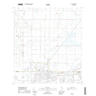
The Caloosahatchee River serves as the central artery for this part of Hendry County, with the city of LaBelle positioned along its southern banks. This 2018 survey documents a landscape where the river's path is marked by infrastructure like the La-Belle Bridge and surrounded by a network of drainage systems including the Okaloacoochee Branch and Pollywog Creek. North of the river, the terrain transitions into a grid of rural roads and larger land holdings such as Silver Lake Ranch and the small settlement of Muce. The presence of the Sundance Farms Airport and numerous named local roads like Walter Green Rd SW and Loblolly Rd highlights the modern rural-residential development of the area. This map provides a clear record of South Florida water management and land use, tracing the relationship between the natural wetlands and the organized expansion of the LaBelle community.
Find a feature on this map
119 named features on this map. Tap any name to fly to it.
Don’t see what you’re looking for? This feature index may not catch every label — zoom into the map to look around manually.
Map Details
Editions of this 2018 La Belle Map
This is the sole edition of this map. No revisions or reprints were ever made.
Other maps of this area

1956 · Telegraph Swamp NE
USGS Topo · 1:24,000

1956 · West Palm Beach
USGS Topo · 1:250,000

1957 · West Palm Beach
USGS Topo · 1:250,000

1957 · Telegraph Swamp SE
USGS Topo · 1:24,000

1958 · West Palm Beach
USGS Topo · 1:250,000

1958 · La Belle NW
USGS Topo · 1:24,000

1958 · Goodno
USGS Topo · 1:24,000

1958 · Felda NE
USGS Topo · 1:24,000

1958 · Alva
USGS Topo · 1:24,000

1958 · Sears
USGS Topo · 1:24,000