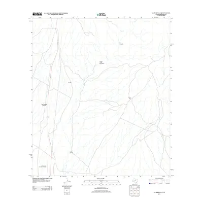
2012 Map of La Boquilla
USGS Topo · Published 2012About this map
Cibolo Cr and its network of ephemeral tributaries define the drainage of this high-desert landscape in Presidio County. The map documents a period of modern connectivity, where 67 serves as the primary artery passing through Las Pampas Colonia and providing access to the Presidio Lely International Airport in the south. Settlement patterns here are tied to water and transit, visible in the placement of the Arroyos Ranch and the community of La Boquilla. The presence of Twin Mills suggests localized agricultural or ranching infrastructure that persists amidst the rugged terrain of Arroyo Tinaja Escondido and Arroyo Monias.
Find a feature on this map
11 named features on this map. Tap any name to fly to it.
Don’t see what you’re looking for? This feature index may not catch every label — zoom into the map to look around manually.
Map Details
Editions of this 2012 La Boquilla Map
This is the sole edition of this map. No revisions or reprints were ever made.
Other maps of this area

1896 · Shafter
USGS Topo · 1:125,000

1959 · Presidio
USGS Topo · 1:250,000

1965 · Presidio
USGS Topo · 1:250,000

1978 · La Boquilla
USGS Topo · 1:24,000
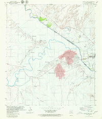
1979 · Presidio West
USGS Topo · 1:24,000

1979 · Presidio East
USGS Topo · 1:24,000

1980 · Arroyo Melado
USGS Topo · 1:24,000

1983 · Shafter
USGS Topo · 1:24,000

1983 · Cerro Redondo
USGS Topo · 1:24,000

1983 · Cienega Mountains
USGS Topo · 1:24,000