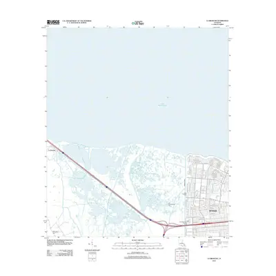
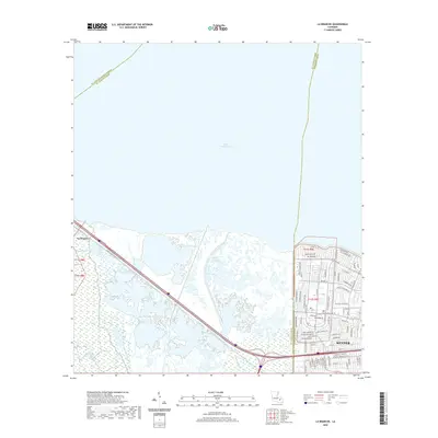
1999 Map of La Branche
USGS Topo · Published 2000About this map
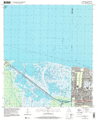
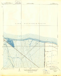
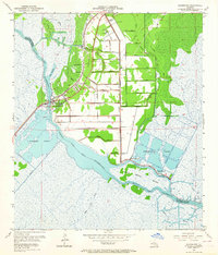
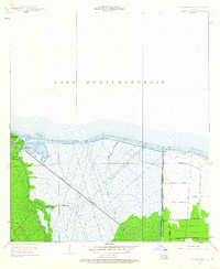
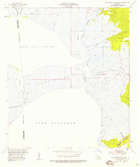
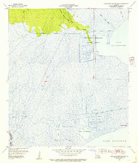
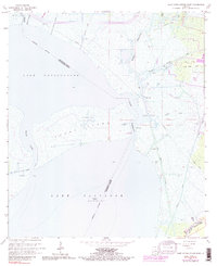
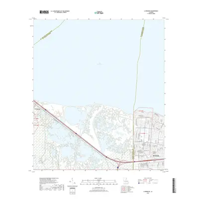
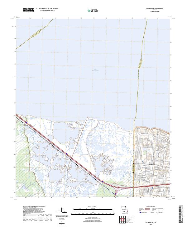
Lake Pontchartrain dominates the northern half of this landscape, its shoreline defined by a long Seawall and a series of navigational lights. The southern portion reveals a complex transition from the wetlands of the Bonnet Carre Floodway to the expanding suburban grid of Kenner. This area is heavily influenced by the petroleum industry, with both the Good Hope Oil and Gas Field and the East Good Hope Gas Field marked by numerous Oil Wells and Gas Wells scattered throughout the marsh.
Find a feature on this map
50 named features on this map. Tap any name to fly to it.
Don’t see what you’re looking for? This feature index may not catch every label — zoom into the map to look around manually.
Map Details
Editions of this 1999 La Branche Map
This is the sole edition of this map. No revisions or reprints were ever made.
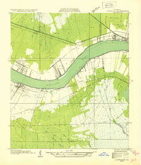
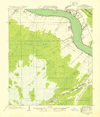
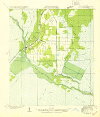
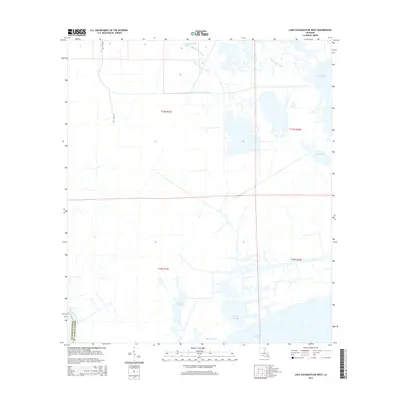
Historical Maps of Kenner Through Time
32 maps found
1932 Hahnville NE
St. Charles Parish, LA
1932 Hahnville NW
St. Charles Parish, LA
1932 Hahnville SW
St. Charles Parish, LA

1932 New Orleans SW
St. Charles Parish, LA
1938 La Branche
St. Charles Parish, LA
1940 Allemands
St. Charles Parish, LA
1942 Lake Cataouatche East
St. Charles Parish, LA
1942 Lake Cataouatche West
St. Charles Parish, LA
1952 Allemands
St. Charles Parish, LA
1952 La Branche
St. Charles Parish, LA
1952 Lake Cataouatche East
St. Charles Parish, LA
1952 Lake Cataouatche West
St. Charles Parish, LA
1966 Lake Cataouatche East
St. Charles Parish, LA
1967 La Branche
St. Charles Parish, LA
1967 Lake Cataouatche West
St. Charles Parish, LA
1992 La Branche
St. Charles Parish, LA
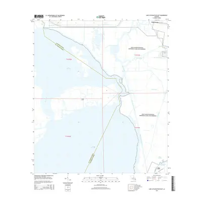
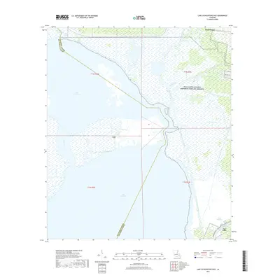
1999 La Branche
St. Charles Parish, LA
2012 La Branche
St. Charles Parish, LA
2012 Lake Cataouatche East
St. Charles Parish, LA
2012 Lake Cataouatche West
St. Charles Parish, LA
2015 La Branche
St. Charles Parish, LA
2015 Lake Cataouatche East
St. Charles Parish, LA
2015 Lake Cataouatche West
St. Charles Parish, LA
2018 La Branche
St. Charles Parish, LA
2018 Lake Cataouatche East
St. Charles Parish, LA
2018 Lake Cataouatche West
St. Charles Parish, LA
2020 La Branche
St. Charles Parish, LA
2020 Lake Cataouatche East
St. Charles Parish, LA
2020 Lake Cataouatche West
St. Charles Parish, LA
2024 La Branche
St. Charles Parish, LA
2024 Lake Cataouatche East
St. Charles Parish, LA
2024 Lake Cataouatche West
St. Charles Parish, LA