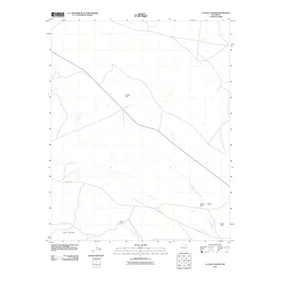
2010 Map of La Chata Crater
USGS Topo · Published 2010About this map
Santa Fe Trl cuts across this high-plains landscape in Mora County, marking a corridor defined by volcanic landforms and cattle ranching. The namesake La Chata Crater stands as a prominent geologic feature, surrounded by the foothills of the Turkey Mountains to the southwest and the expansive Jarosa Mesa to the east. Water, a critical resource in this arid environment, is managed through the Jarosa Reservoir Dam, which captures drainage from Arroyo Jarosa.
Find a feature on this map
9 named features on this map. Tap any name to fly to it.
Don’t see what you’re looking for? This feature index may not catch every label — zoom into the map to look around manually.
Map Details
Editions of this 2010 La Chata Crater Map
This is the sole edition of this map. No revisions or reprints were ever made.
Other maps of this area

1892 · Watrous
USGS Topo · 1:125,000

1894 · Watrous
USGS Topo · 1:125,000

1954 · Santa Fe
USGS Topo · 1:250,000

1954 · Raton
USGS Topo · 1:250,000

1958 · Raton
USGS Topo · 1:250,000

1958 · Santa Fe
USGS Topo · 1:250,000

1964 · Wagon Mound
USGS Topo · 1:24,000

1964 · Mogote Hills
USGS Topo · 1:24,000

1964 · Colmor
USGS Topo · 1:24,000

1966 · Mora Ranch
USGS Topo · 1:24,000