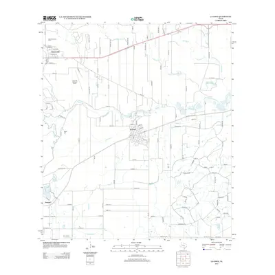
2013 Map of La Coste
USGS Topo · Published 2013About this map
The Castroville Historic District marks the northwestern corner of this map, reflecting the deep cultural roots of this Alsatian-influenced settlement along the Medina River. To the southeast, the town of La Coste sits at a geographic crossroads, defined by its rail access and proximity to the Medina Irrigation Canal. The landscape is a complex network of agriculture and water management, evidenced by the Natalia Canal and various local reservoirs such as Ruby Lake and Kirby Lake.
Find a feature on this map
123 named features on this map. Tap any name to fly to it.
Don’t see what you’re looking for? This feature index may not catch every label — zoom into the map to look around manually.
Map Details
Editions of this 2013 La Coste Map
This is the sole edition of this map. No revisions or reprints were ever made.
Other maps of this area

1942 · Natalia
USGS Topo · 1:62,500

1953 · Culebra Hill
USGS Topo · 1:24,000

1953 · Macdona
USGS Topo · 1:24,000

1954 · San Antonio
USGS Topo · 1:250,000

1957 · San Antonio
USGS Topo · 1:250,000

1958 · La Coste
USGS Topo · 1:24,000

1958 · Somerset
USGS Topo · 1:24,000

1958 · La Coste NE
USGS Topo · 1:24,000

1964 · Riomedina
USGS Topo · 1:24,000

1964 · Castroville
USGS Topo · 1:24,000