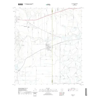
2019 Map of La Coste
USGS Topo · Published 2019About this map
The Medina River carves a winding path through this corner of South Texas, defining the landscape between the historic community of Castroville and the town of Lacoste. The map highlights a complex water management system essential to the local agriculture, including the Medina Irrigation Canal and the Natalia Canal, which support the surrounding ranchlands and fields. Significant landmarks such as the Castroville Municipal Airport and Rhins Hill stand as prominent features in an area otherwise characterized by creek systems like Little Sous Cr and Polecat Cr. Near the southern border, the N Prong Atascosa River begins its course, while several small lakes, including Ruby Lake and the Alamo Angus Ranch Lake, provide critical local water resources. This survey illustrates the continued development of the corridor along FM 471, connecting the established settlements of Pearson with the growing rural infrastructure at the Bexar and Medina County line.
Find a feature on this map
109 named features on this map. Tap any name to fly to it.
Don’t see what you’re looking for? This feature index may not catch every label — zoom into the map to look around manually.
Map Details
Editions of this 2019 La Coste Map
This is the sole edition of this map. No revisions or reprints were ever made.
Other maps of this area

1942 · Natalia
USGS Topo · 1:62,500

1953 · Culebra Hill
USGS Topo · 1:24,000

1953 · Macdona
USGS Topo · 1:24,000

1954 · San Antonio
USGS Topo · 1:250,000

1957 · San Antonio
USGS Topo · 1:250,000

1958 · La Coste
USGS Topo · 1:24,000

1958 · Somerset
USGS Topo · 1:24,000

1958 · La Coste NE
USGS Topo · 1:24,000

1964 · Riomedina
USGS Topo · 1:24,000

1964 · Castroville
USGS Topo · 1:24,000