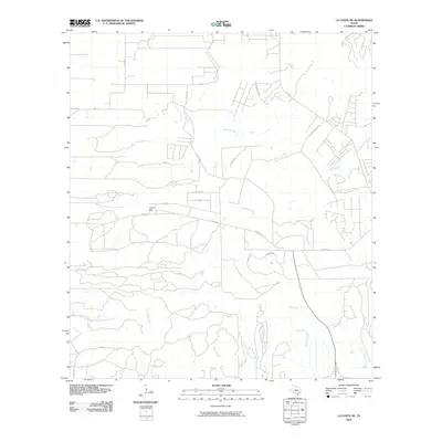
2010 Map of La Coste NE
USGS Topo · Published 2010About this map
San Geronimo Creek and Medio Creek dominate the drainage patterns of this Bexar County landscape at the turn of the 21st century. The map centers on the small community of Loma Alta, situated near the intersection of FM 1957 and Co RD 375. This area represents a transition from more established rural farm roads like Co RD 391 to newer residential development characterized by streets like Louis Agusta Dr and Tamaron Park. The complex hydrology is evident in the numerous tributaries shown, including the Big Sous Creek system and Potranca Creek. These watercourses dictate the winding paths of local thoroughfares such as Potranco Rd, reflecting a landscape where geography still heavily influences the modern suburban and rural road network.
Find a feature on this map
31 named features on this map. Tap any name to fly to it.
Don’t see what you’re looking for? This feature index may not catch every label — zoom into the map to look around manually.
Map Details
Editions of this 2010 La Coste NE Map
This is the sole edition of this map. No revisions or reprints were ever made.
Other maps of this area

1953 · Culebra Hill
USGS Topo · 1:24,000

1953 · Macdona
USGS Topo · 1:24,000

1953 · Helotes
USGS Topo · 1:24,000

1954 · San Antonio
USGS Topo · 1:250,000

1956 · Medina Lake
USGS Topo · 1:62,500

1957 · San Antonio
USGS Topo · 1:250,000

1958 · La Coste
USGS Topo · 1:24,000

1958 · La Coste NE
USGS Topo · 1:24,000

1964 · Riomedina
USGS Topo · 1:24,000

1964 · Castroville
USGS Topo · 1:24,000