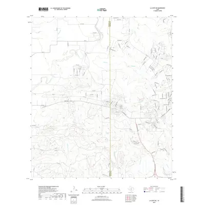
2019 Map of La Coste NE
USGS Topo · Published 2019About this map
The Medina Co and Bexar Co line bisects this landscape of rolling creek drainage systems and growing residential developments west of San Antonio. Several major waterways converge and diverge here, including San Geronimo Cr, Potranca Cr, and the numerous branches of the Sous Creek system, such as Big Sous Cr and E Br Big Sous Cr. These drainage patterns are punctuated by local elevations like Loma Alta, which rises prominently near FM 1957. While traditional ranching legacy is visible at Farley Rnch and Ravens Ranch, the 2019 survey documents a rapidly modernizing terrain. Subdivisions and named roads like Tamaron Pass and Peoples Dr indicate the outward expansion of the metropolitan area into what was once primarily agricultural land. The map also records natural features like San Lucas Springs, a critical water point between Big Sous Cr and Lucas Cr.
Find a feature on this map
114 named features on this map. Tap any name to fly to it.
Don’t see what you’re looking for? This feature index may not catch every label — zoom into the map to look around manually.
Map Details
Editions of this 2019 La Coste NE Map
This is the sole edition of this map. No revisions or reprints were ever made.
Other maps of this area

1953 · Culebra Hill
USGS Topo · 1:24,000

1953 · Macdona
USGS Topo · 1:24,000

1953 · Helotes
USGS Topo · 1:24,000

1954 · San Antonio
USGS Topo · 1:250,000

1956 · Medina Lake
USGS Topo · 1:62,500

1957 · San Antonio
USGS Topo · 1:250,000

1958 · La Coste
USGS Topo · 1:24,000

1958 · La Coste NE
USGS Topo · 1:24,000

1964 · Riomedina
USGS Topo · 1:24,000

1964 · Castroville
USGS Topo · 1:24,000