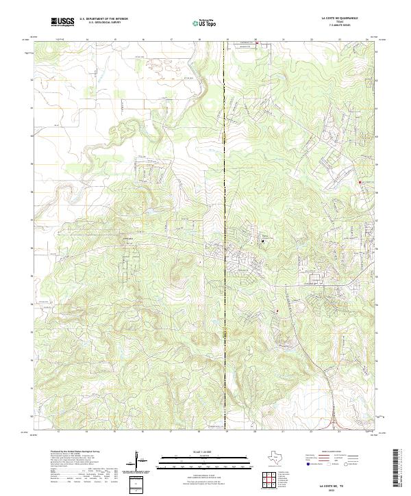
2022 Map of La Coste NE
USGS Topo · Published 2022About this map
Loma Alta and the surrounding ranchlands of Medina and Bexar counties are defined by a complex drainage system flowing toward the south. The terrain is marked by prominent elevations such as Crescent Hill and Palatine Hill, which overlook the winding paths of San Geronimo Cr and Potranca Cr. This 2022 survey captures the modern road network, including FM 471 and Talley Rd, while preserving the location of older landmarks like the Padilla - Zimmerle Cem.
Find a feature on this map
124 named features on this map. Tap any name to fly to it.
Don’t see what you’re looking for? This feature index may not catch every label — zoom into the map to look around manually.
Map Details
Editions of this 2022 La Coste NE Map
This is the sole edition of this map. No revisions or reprints were ever made.
Other maps of this area

1953 · Culebra Hill
USGS Topo · 1:24,000

1953 · Macdona
USGS Topo · 1:24,000

1953 · Helotes
USGS Topo · 1:24,000

1954 · San Antonio
USGS Topo · 1:250,000

1956 · Medina Lake
USGS Topo · 1:62,500

1957 · San Antonio
USGS Topo · 1:250,000

1958 · La Coste
USGS Topo · 1:24,000

1958 · La Coste NE
USGS Topo · 1:24,000

1964 · Riomedina
USGS Topo · 1:24,000

1964 · Castroville
USGS Topo · 1:24,000