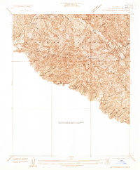
1933 Map of La Crescenta
USGS Topo · Published 1933About this map
Mt Lukens Lookout Sta stands as a primary vantage point over this 1933 survey of the Los Angeles mountains, a landscape defined by an intricate network of deep canyons and firebreaks. The mapping reveals a transitional era for the region, where high-altitude wilderness meets specialized canyon settlements. Notable social and medical landmarks appear on the lower slopes, including the Anandra Ashrama and the Hill Crest Sanatorium, illustrating the area's early 20th-century reputation as a site for retreat and convalescence.
Find a feature on this map
53 named features on this map. Tap any name to fly to it.
Don’t see what you’re looking for? This feature index may not catch every label — zoom into the map to look around manually.
Map Details
Editions of this 1933 La Crescenta Map
This is the sole edition of this map. No revisions or reprints were ever made.
Other maps of this area

1894 · Los Angeles
USGS Topo · 1:62,500

1896 · Pasadena
USGS Topo · 1:62,500

1896 · Santa Monica
USGS Topo · 1:62,500

1898 · Santa Monica
USGS Topo · 1:62,500

1900 · Pasadena
USGS Topo · 1:62,500

1900 · Tujunga
USGS Topo · 1:62,500

1900 · Los Angeles
USGS Topo · 1:62,500

1900 · Fernando
USGS Topo · 1:62,500

1901 · Southern California Sheet No. 1
USGS Topo · 1:250,000

1902 · Santa Monica
USGS Topo · 1:62,500