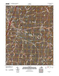
2010 Map of La Crosse
USGS Topo · Published 2010About this map
South Hill and La Crosse anchor this 2010 survey of Southside Virginia, where the intersection of interstate and regional road networks defines the modern landscape. The area is characterized by numerous small drainages such as Evans Creek and Little Genito Creek that feed into larger southern systems, creating a pattern of upland ridges where most development is concentrated. Genealogists and local historians can find significant family and community landmarks, including the Little Bethel Church Cemetery, Smith Cemetery, and the Olive Branch Cemetery near the crossroads of Blackridge. The presence of the Mecklenburg-Brunswick Regional Airport and industrial features like Raineys Dam on Rocky Branch contrast with the agricultural character of outlying settlements such as Marengo and Hagood. The map also captures the town of Brodnax on the eastern edge, highlighting the historical corridor of Virginia St as it spans the county line.
Find a feature on this map
68 named features on this map. Tap any name to fly to it.
Don’t see what you’re looking for? This feature index may not catch every label — zoom into the map to look around manually.
Map Details
Editions of this 2010 La Crosse Map
This is the sole edition of this map. No revisions or reprints were ever made.
Other maps of this area

1918 · Lawrenceville
USGS Topo · 1:62,500

1919 · White Plains
USGS Topo · 1:48,000

1920 · Lawrenceville
USGS Topo · 1:48,000

1920 · White Plains
USGS Topo · 1:62,500

1921 · Lawrenceville
USGS Topo · 1:62,500

1942 · Lawrenceville
USGS Topo · 1:62,500

1953 · Norfolk
USGS Topo · 1:250,000

1953 · Greensboro
USGS Topo · 1:250,000

1954 · Greensboro
USGS Topo · 1:250,000

1955 · Kenbridge
USGS Topo · 1:62,500