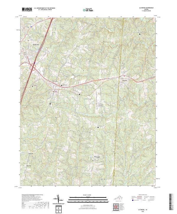
2022 Map of La Crosse
USGS Topo · Published 2022About this map
South Hill and La Crosse serve as the primary hubs in this modern topographic survey of southern Virginia. The landscape is defined by the transition of the former railroad corridor into the Tobacco Heritage Trl, which now connects the municipalities of La Crosse and Brodnax. This route follows the historical path of commerce through the tobacco-growing region, crossing the border between Mecklenburg and Brunswick counties.
Find a feature on this map
117 named features on this map. Tap any name to fly to it.
Don’t see what you’re looking for? This feature index may not catch every label — zoom into the map to look around manually.
Map Details
Editions of this 2022 La Crosse Map
This is the sole edition of this map. No revisions or reprints were ever made.
Other maps of this area

1918 · Lawrenceville
USGS Topo · 1:62,500

1919 · White Plains
USGS Topo · 1:48,000

1920 · Lawrenceville
USGS Topo · 1:48,000

1920 · White Plains
USGS Topo · 1:62,500

1921 · Lawrenceville
USGS Topo · 1:62,500

1942 · Lawrenceville
USGS Topo · 1:62,500

1953 · Norfolk
USGS Topo · 1:250,000

1953 · Greensboro
USGS Topo · 1:250,000

1954 · Greensboro
USGS Topo · 1:250,000

1955 · Kenbridge
USGS Topo · 1:62,500