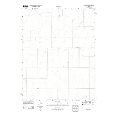
2009 Map of La Crosse NW
USGS Topo · Published 2009About this map
The Smoky Hill River meanders across the northern portion of this Ellis County landscape, defining the local hydrology alongside Big Timber Creek in the south. This 2009 survey by the U.S. Geological Survey illustrates a traditional section-line grid of rural roads, including S County Line Rd and Schoenchen Rd, which facilitate movement through the agricultural interior. For genealogists and local historians, the map identifies two significant landmarks: Cordia Cemetery and Nickel Cemetery. These sites provide specific points of interest for family research within a terrain largely shaped by these waterways and the intersecting paths of named thoroughfares like Yocemento Ave and 200th Ave.
Find a feature on this map
12 named features on this map. Tap any name to fly to it.
Don’t see what you’re looking for? This feature index may not catch every label — zoom into the map to look around manually.
Map Details
Editions of this 2009 La Crosse NW Map
This is the sole edition of this map. No revisions or reprints were ever made.
Other maps of this area

1893 · Ellis
USGS Topo · 1:125,000

1896 · Hays
USGS Topo · 1:125,000

1955 · Great Bend
USGS Topo · 1:250,000

1957 · Great Bend
USGS Topo · 1:250,000

1958 · Great Bend
USGS Topo · 1:250,000

1961 · Hays South
USGS Topo · 1:24,000

1961 · Antonino
USGS Topo · 1:24,000

1965 · Mc Cracken
USGS Topo · 1:24,000

1966 · La Crosse
USGS Topo · 1:24,000

1966 · Hargrave
USGS Topo · 1:24,000