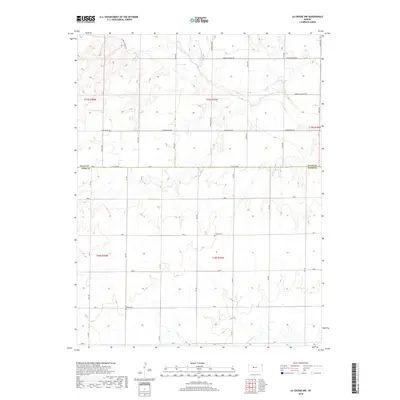
2018 Map of La Crosse NW
USGS Topo · Published 2018About this map
The Smoky Hill River meanders across the northern reaches of this landscape on the boundary of Ellis County and Rush County. This section of the High Plains is defined by a rigorous section-line road grid, including Schoenchen Rd and Yocemento Ave, which reflects the systematic agricultural development of the region. Local genealogy is anchored by two rural burial sites, the Cordial Cem and the Nickel Cem, which serve as permanent markers of early family settlements. To the south, the terrain is carved by Big Timber Cr, while the evocatively named Chetolah Gold Rd runs along the northern edge of the survey, hinting at the historical aspirations of late nineteenth-century prospectors in western Kansas.
Find a feature on this map
34 named features on this map. Tap any name to fly to it.
Don’t see what you’re looking for? This feature index may not catch every label — zoom into the map to look around manually.
Map Details
Editions of this 2018 La Crosse NW Map
This is the sole edition of this map. No revisions or reprints were ever made.
Other maps of this area

1893 · Ellis
USGS Topo · 1:125,000

1896 · Hays
USGS Topo · 1:125,000

1955 · Great Bend
USGS Topo · 1:250,000

1957 · Great Bend
USGS Topo · 1:250,000

1958 · Great Bend
USGS Topo · 1:250,000

1961 · Hays South
USGS Topo · 1:24,000

1961 · Antonino
USGS Topo · 1:24,000

1965 · Mc Cracken
USGS Topo · 1:24,000

1966 · La Crosse
USGS Topo · 1:24,000

1966 · Hargrave
USGS Topo · 1:24,000