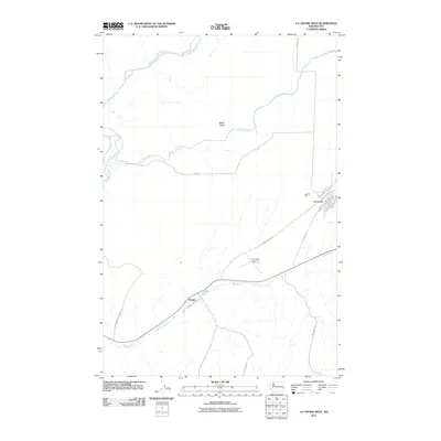
2011 Map of La Crosse West
USGS Topo · Published 2011About this map
Union Flat Creek and Willow Creek converge in this eastern Washington landscape, framing the small settlement of La Crosse. In this agricultural region of Whitman County, the town layout is defined by a grid including S Main St, Whitman Ave, and Clara Ave. To the southwest, the smaller locality of Pampa sits along the winding course of Willow Creek near the seasonal Pampa Pond.
Find a feature on this map
24 named features on this map. Tap any name to fly to it.
Don’t see what you’re looking for? This feature index may not catch every label — zoom into the map to look around manually.
Map Details
Editions of this 2011 La Crosse West Map
This is the sole edition of this map. No revisions or reprints were ever made.
Other maps of this area

1948 · Starbuck
USGS Topo · 1:62,500

1950 · La Crosse
USGS Topo · 1:62,500

1950 · Starbuck
USGS Topo · 1:62,500

1950 · Hay
USGS Topo · 1:62,500

1950 · Benge
USGS Topo · 1:62,500

1952 · Hay
USGS Topo · 1:62,500

1952 · La Crosse
USGS Topo · 1:62,500

1952 · Benge
USGS Topo · 1:62,500

1953 · Walla Walla
USGS Topo · 1:250,000

1955 · Pullman
USGS Topo · 1:250,000