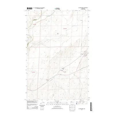
2014 Map of La Crosse West
USGS Topo · Published 2014About this map
La Crosse and the small rail settlement of Pampa anchor this portion of the Palouse region, where the terrain shifts from the high agricultural plateaus down to the winding Palouse River valley. This 2014 survey illustrates a landscape deeply shaped by drainage patterns, with Union Flat Creek and Willow Cr cutting through the loess hills. The rural infrastructure is highlighted by the Lacrosse Municipal Airport and a network of gravel and paved roads like Scott Rd and Wise Rd that connect isolated farmsteads across the county line between Adams and Whitman counties.
Find a feature on this map
27 named features on this map. Tap any name to fly to it.
Don’t see what you’re looking for? This feature index may not catch every label — zoom into the map to look around manually.
Map Details
Editions of this 2014 La Crosse West Map
This is the sole edition of this map. No revisions or reprints were ever made.
Other maps of this area

1948 · Starbuck
USGS Topo · 1:62,500

1950 · La Crosse
USGS Topo · 1:62,500

1950 · Starbuck
USGS Topo · 1:62,500

1950 · Hay
USGS Topo · 1:62,500

1950 · Benge
USGS Topo · 1:62,500

1952 · Hay
USGS Topo · 1:62,500

1952 · La Crosse
USGS Topo · 1:62,500

1952 · Benge
USGS Topo · 1:62,500

1953 · Walla Walla
USGS Topo · 1:250,000

1955 · Pullman
USGS Topo · 1:250,000