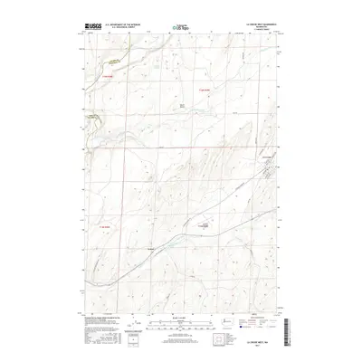
2017 Map of La Crosse West
USGS Topo · Published 2017About this map
Palouse River and Union Flat Creek carve through the Palouse hills at the boundary of Whitman and Adams counties. This 2017 survey shows the agricultural town of La Crosse at the eastern edge of the quadrangle, where a grid of streets including Main Ave and Whitman Ave meets Cemetary Rd. The landscape is dominated by the rhythmic topography of the region, punctuated by Black Butte and the winding course of Willow Cr. Southwest of the main settlement, the rail-aligned community of Pampa sits near Pampa Pond, marking a historic transportation corridor. The Lacrosse Municipal Airport occupies the high ground between the drainage of Union Flat Cr and the southern creek beds, while remote routes like Wise Rd and Del Camp River Ranch Rd provide access to the surrounding rangeland and canyon breaks.
Find a feature on this map
31 named features on this map. Tap any name to fly to it.
Don’t see what you’re looking for? This feature index may not catch every label — zoom into the map to look around manually.
Map Details
Editions of this 2017 La Crosse West Map
This is the sole edition of this map. No revisions or reprints were ever made.
Other maps of this area

1948 · Starbuck
USGS Topo · 1:62,500

1950 · La Crosse
USGS Topo · 1:62,500

1950 · Starbuck
USGS Topo · 1:62,500

1950 · Hay
USGS Topo · 1:62,500

1950 · Benge
USGS Topo · 1:62,500

1952 · Hay
USGS Topo · 1:62,500

1952 · La Crosse
USGS Topo · 1:62,500

1952 · Benge
USGS Topo · 1:62,500

1953 · Walla Walla
USGS Topo · 1:250,000

1955 · Pullman
USGS Topo · 1:250,000