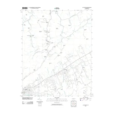
2010 Map of La Follette
USGS Topo · Published 2010About this map
LaFollette and the community of Fincastle anchor this survey of the Cumberland Mountains' eastern foothills, where the landscape is defined by a dense network of family-named hollows and prominent ridges. North of the town center, the terrain rises toward Brushy Mountain and Fork Ridge, sheltering sites like the James Mine and the Duff Post Office. The map reveals a deeply established social geography through its numerous burial grounds, including Fincastle Cemetery, Sunrise Cemetery, and the Laban Sharp Cemetery near Ollis Creek.
Find a feature on this map
97 named features on this map. Tap any name to fly to it.
Don’t see what you’re looking for? This feature index may not catch every label — zoom into the map to look around manually.
Map Details
Editions of this 2010 La Follette Map
This is the sole edition of this map. No revisions or reprints were ever made.
Other maps of this area

1886 · Cumberland Gap
USGS Topo · 1:125,000

1888 · Cumberland Gap
USGS Topo · 1:125,000

1890 · Williamsburg
USGS Topo · 1:125,000

1891 · Cumberland Gap
USGS Topo · 1:125,000

1893 · Briceville
USGS Topo · 1:125,000

1894 · Williamsburg
USGS Topo · 1:125,000

1895 · Briceville
USGS Topo · 1:125,000

1896 · Briceville
USGS Topo · 1:125,000

1897 · Maynardville
USGS Topo · 1:125,000

1900 · Maynardville
USGS Topo · 1:125,000