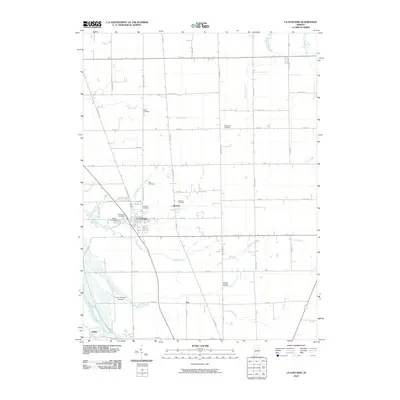
2010 Map of La Fontaine
USGS Topo · Published 2010About this map
La Fontaine serves as the central hub of this agricultural landscape, where the intersection of S Old State Rd 15 and local routes defines the township's layout. The map reveals a dense network of family and community history through its numerous burial grounds, including the Meshingomesia Cemetery near the southern border and the Hale Cemetery further north. Small settlements like America and Fox appear as quiet clusters along the grid of country roads, such as Treaty Pike and James Rd.
Find a feature on this map
56 named features on this map. Tap any name to fly to it.
Don’t see what you’re looking for? This feature index may not catch every label — zoom into the map to look around manually.
Map Details
Editions of this 2010 La Fontaine Map
This is the sole edition of this map. No revisions or reprints were ever made.
Other maps of this area

1950 · Lagro
USGS Topo · 1:24,000

1950 · Andrews
USGS Topo · 1:24,000

1950 · Mount Etna
USGS Topo · 1:24,000

1951 · Mount Etna
USGS Topo · 1:24,000

1951 · Andrews
USGS Topo · 1:24,000

1951 · Lagro
USGS Topo · 1:24,000

1952 · Wabash
USGS Topo · 1:24,000

1953 · La Fontaine
USGS Topo · 1:24,000

1953 · Somerset
USGS Topo · 1:24,000

1953 · Muncie
USGS Topo · 1:250,000