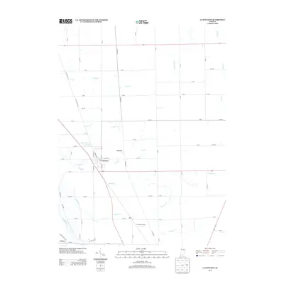
2013 Map of La Fontaine
USGS Topo · Published 2013About this map
La Fontaine serves as the primary hub in this portion of Wabash County, where the grid of S Main St and E Kendall St meets the surrounding agricultural landscape. The map reveals a network of small, historic community nodes like America and Fox, the latter of which is situated near the Fox Station Airport. To the southwest, the edge of Jalapa appears near the Mississinewa River, a significant waterway that anchors the local drainage system.
Find a feature on this map
30 named features on this map. Tap any name to fly to it.
Don’t see what you’re looking for? This feature index may not catch every label — zoom into the map to look around manually.
Map Details
Editions of this 2013 La Fontaine Map
This is the sole edition of this map. No revisions or reprints were ever made.
Other maps of this area

1950 · Lagro
USGS Topo · 1:24,000

1950 · Andrews
USGS Topo · 1:24,000

1950 · Mount Etna
USGS Topo · 1:24,000

1951 · Mount Etna
USGS Topo · 1:24,000

1951 · Andrews
USGS Topo · 1:24,000

1951 · Lagro
USGS Topo · 1:24,000

1952 · Wabash
USGS Topo · 1:24,000

1953 · La Fontaine
USGS Topo · 1:24,000

1953 · Somerset
USGS Topo · 1:24,000

1953 · Muncie
USGS Topo · 1:250,000