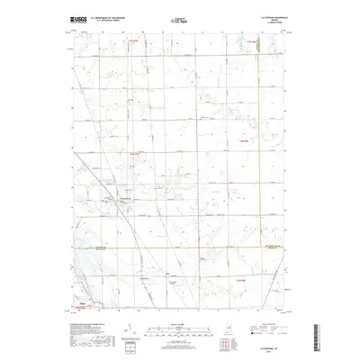
2019 Map of La Fontaine
USGS Topo · Published 2019About this map
La Fontaine serves as the central hub of this Indiana landscape, where the intersections of Wabash, Huntington, and Grant counties meet amidst a complex network of creeks and drainage basins. The area is defined by the winding paths of Metocinah Cr, Grant Cr, and Treaty Cr, which cut through a grid of rural section roads. These watercourses historically dictated the placement of early homesteads and community markers.
Find a feature on this map
65 named features on this map. Tap any name to fly to it.
Don’t see what you’re looking for? This feature index may not catch every label — zoom into the map to look around manually.
Map Details
Editions of this 2019 La Fontaine Map
This is the sole edition of this map. No revisions or reprints were ever made.
Other maps of this area

1950 · Lagro
USGS Topo · 1:24,000

1950 · Andrews
USGS Topo · 1:24,000

1950 · Mount Etna
USGS Topo · 1:24,000

1951 · Mount Etna
USGS Topo · 1:24,000

1951 · Andrews
USGS Topo · 1:24,000

1951 · Lagro
USGS Topo · 1:24,000

1952 · Wabash
USGS Topo · 1:24,000

1953 · La Fontaine
USGS Topo · 1:24,000

1953 · Somerset
USGS Topo · 1:24,000

1953 · Muncie
USGS Topo · 1:250,000