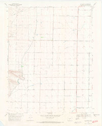
1968 Map of La Garita
USGS Topo · Published 1971About this map
La Garita serves as the primary focal point of this high-altitude landscape, where the irrigation architecture of the San Luis Valley is on clear display. A complex network of water management features, including the Rio Grande Canal, Main Canal, and Farmers Union Canal, illustrates the region's reliance on diverted water for agriculture. These man-made channels intersect the natural drainages of Carnero Creek and La Garita Creek as they flow eastward from the rising terrain toward the valley floor.
Find a feature on this map
15 named features on this map. Tap any name to fly to it.
Don’t see what you’re looking for? This feature index may not catch every label — zoom into the map to look around manually.
Map Details
Editions of this 1968 La Garita Map
2 editions found
Other maps of this area

1915 · Del Norte
USGS Topo · 1:125,000

1917 · Del Norte
USGS Topo · 1:125,000

1945 · Durango
USGS Topo · 1:250,000

1953 · Durango
USGS Topo · 1:250,000

1954 · Durango
USGS Topo · 1:250,000

1961 · Durango
USGS Topo · 1:250,000

1963 · Durango
USGS Topo · 1:250,000

1964 · Sevenmile Plaza
USGS Topo · 1:24,000

1966 · Durango
USGS Topo · 1:250,000
1966 · Del Norte
USGS Topo · 1:24,000