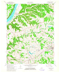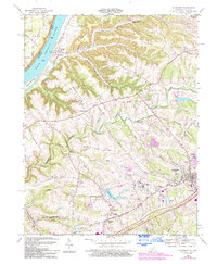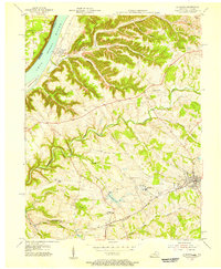
1954 Map of La Grange
USGS Topo · Published 1956About this map
The Ohio River corridor defines this mid-century landscape of Oldham County, where the river's path creates a natural boundary between Indiana and Kentucky. The town of La Grange serves as a focal point, positioned along the Louisville and Nashville rail line which connects the area's smaller settlements like Buckner and Morris. The presence of the La Grange State Reformatory and the adjacent Reformatory Lake indicates the institutional footprint on the local geography, while the Filtration Plant and nearby Reservoir suggest the infrastructure supporting post-war regional growth.
Find a feature on this map
37 named features on this map. Tap any name to fly to it.
Don’t see what you’re looking for? This feature index may not catch every label — zoom into the map to look around manually.
Map Details
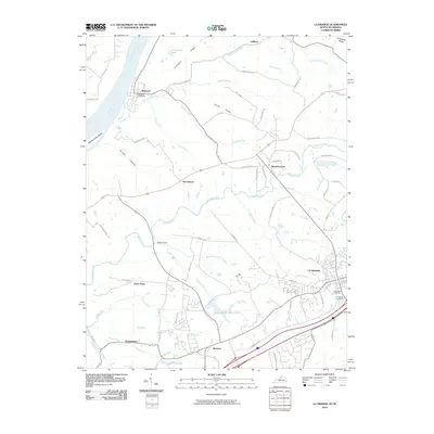
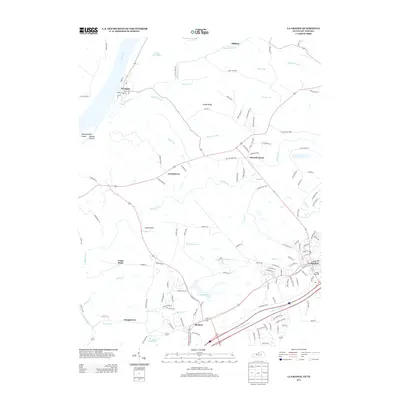
Editions of this 1954 La Grange Map
This is the sole edition of this map. No revisions or reprints were ever made.
Historical Maps of La Grange Through Time
9 maps found