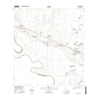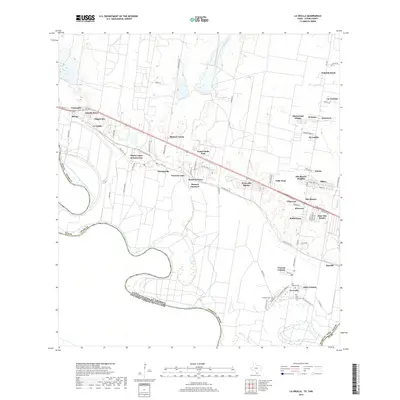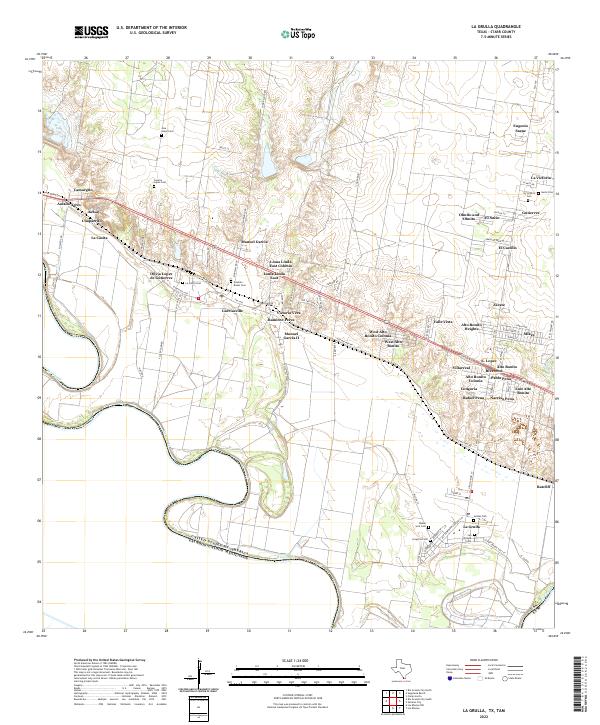
2022 Map of La Grulla
USGS Topo · Published 2022About this map
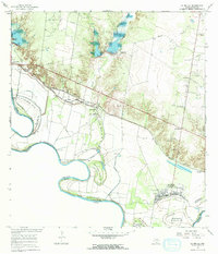
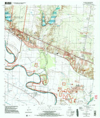
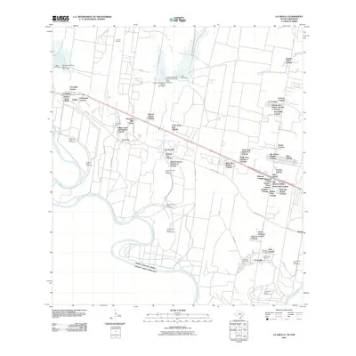
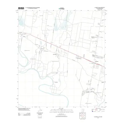
The Rio Grande forms the international boundary with Mexico in this southern Texas landscape, where modern rural colonias and family-named settlements line the fertile corridor north of the river. The area is characterized by a dense concentration of small communities and family-named landmarks, reflecting deep-rooted ties to the land. Genealogists will find a significant number of family burial grounds scattered across the terrain, including Jose Lopez Cem, Cesario Lopez Cem, and Gonzalo Bazan Cem. Settlements such as Garciasville and La Casita sit alongside newer developments like West Alto Bonito Colonia and Loma Linda East Colonia. The map illustrates the contemporary transition of traditional ranching and farming lands into established residential clusters, all while maintaining the ancestral footprints of early South Texas families through locations like Victoria Vera and Ramirez-Perez.
Find a feature on this map
93 named features on this map. Tap any name to fly to it.
Don’t see what you’re looking for? This feature index may not catch every label — zoom into the map to look around manually.
Map Details
Editions of this 2022 La Grulla Map
This is the sole edition of this map. No revisions or reprints were ever made.
Historical Maps of La Grulla Through Time
7 maps found