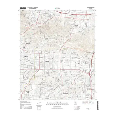
2015 Map of La Habra
USGS Topo · Published 2015About this map
Puente Hills and the West Coyote Hills define the complex topography of this 2015 survey, which covers the densely developed intersection of Los Angeles and Orange Counties. The map documents a mature urban landscape where residential neighborhoods in Hacienda Heights, Rowland Heights, and La Habra give way to major educational and commercial centers. Notable institutional landmarks include the Southern California University of Health Sciences and Fullerton College, while large-scale retail development is represented by the Brea Mall in the east.
Find a feature on this map
74 named features on this map. Tap any name to fly to it.
Don’t see what you’re looking for? This feature index may not catch every label — zoom into the map to look around manually.
Map Details
Editions of this 2015 La Habra Map
This is the sole edition of this map. No revisions or reprints were ever made.
Other maps of this area

1894 · Los Angeles
USGS Topo · 1:62,500

1894 · Pomona
USGS Topo · 1:62,500

1896 · Pasadena
USGS Topo · 1:62,500

1896 · Anaheim
USGS Topo · 1:62,500

1896 · Downey
USGS Topo · 1:62,500

1897 · Pomona
USGS Topo · 1:62,500

1898 · Pomona
USGS Topo · 1:62,500

1898 · Anaheim
USGS Topo · 1:62,500

1899 · Downey
USGS Topo · 1:62,500

1900 · Pasadena
USGS Topo · 1:62,500