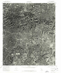
2022 Map of La Habra
USGS Topo · Published 2022About this map
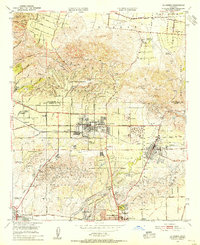
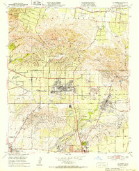
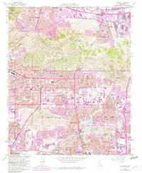
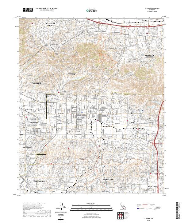
The Puente Hills and Chino Hills rise above the dense residential corridors of the Los Angeles and Orange County border, defining the northern geography of this region. The map documents a highly developed suburban landscape where historical place names like Des Moines and Otterbein persist alongside modern educational hubs, including California State University Fullerton and several specialized medical institutions. This 2022 survey illustrates the conversion of the former agricultural and oil-producing landscape into a sophisticated network of parklands and trails, such as the Juanita Cook Greenbelt Trl and Powder Canyon Mtwy. Significant institutional landmarks are well-represented, from the Orange County North Justice Center to several major memorial parks, including Queen of Heaven Cem and Mortuary. The intricate drainage patterns of Brea Cr and Fullerton Cr continue to influence the layout of these neighboring municipalities.
Find a feature on this map
57 named features on this map. Tap any name to fly to it.
Don’t see what you’re looking for? This feature index may not catch every label — zoom into the map to look around manually.
Map Details
Editions of this 2022 La Habra Map
This is the sole edition of this map. No revisions or reprints were ever made.
Historical Maps of Andora/Fairhope Through Time
6 maps found