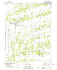
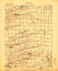
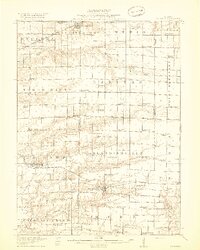
1918 Map of La Harpe
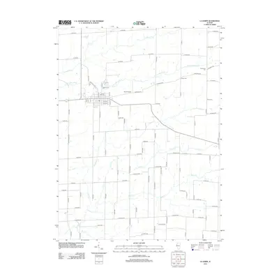
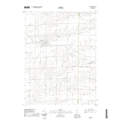
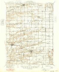
USGS Topo · Published 1948About this map
The railroad towns of La Harpe and Stronghurst anchor this rural landscape in the early twentieth century, situated at the intersection of several fertile townships. Two major rail lines, the Atchison Topeka and Santa Fe and the Toledo Peoria and Western, bisect the region, driving the growth of agricultural hubs like Blandinsville and Sciota. The map illustrates a dense network of country schools, including family-named landmarks like Jackson Corner School and the descriptively named Duck Pond School, serving a population dispersed across the prairies.
Find a feature on this map
82 named features on this map. Tap any name to fly to it.
Don’t see what you’re looking for? This feature index may not catch every label — zoom into the map to look around manually.
Map Details
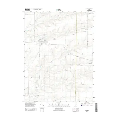
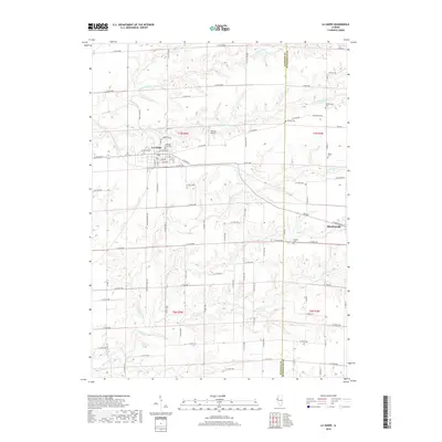
Editions of this 1918 La Harpe Map
4 editions found
Historical Maps of Macomb Through Time
7 maps found