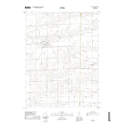
2021 Map of La Harpe
USGS Topo · Published 2021About this map
La Harpe and Blandinsville anchor this survey of the Western Illinois borderlands where Hancock and McDonough counties meet. The landscape is defined by a dense drainage network where the La Moine River and its S Br La Moine River branch wind through the northern sections, while Baptist Cr and Little Cr carve the southern reaches. This modern elevation data illustrates how the region’s agricultural grid adapts to the rolling stream valleys.
Find a feature on this map
82 named features on this map. Tap any name to fly to it.
Don’t see what you’re looking for? This feature index may not catch every label — zoom into the map to look around manually.
Map Details
Editions of this 2021 La Harpe Map
This is the sole edition of this map. No revisions or reprints were ever made.
Other maps of this area

1913 · Colchester
USGS Topo · 1:62,500

1918 · La Harpe
USGS Topo · 1:62,500

1932 · Lomax
USGS Topo · 1:62,500

1933 · Carthage
USGS Topo · 1:62,500

1937 · Carthage
USGS Topo · 1:62,500

1937 · Lomax
USGS Topo · 1:62,500

1958 · Burlington
USGS Topo · 1:250,000

1961 · Burlington
USGS Topo · 1:250,000

1963 · Burlington
USGS Topo · 1:250,000

1964 · Lomax
USGS Topo · 1:24,000