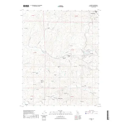
2018 Map of La Honda
USGS Topo · Published 2018About this map
La Honda and its surrounding communities in the Santa Cruz Mountains are defined by a complex network of ridges and canyons. The settlement pattern follows the drainages of San Gregorio Cr and Pescadero Cr, where local clusters like Loma Mar, Redwood Terrace, and Dearborn Park are established. This topography is marked by distinctive natural clearings and flats such as China Flat and Worley Flat, alongside numerous gulches including Pine Tree Gulch and Dark Gulch.
Find a feature on this map
95 named features on this map. Tap any name to fly to it.
Don’t see what you’re looking for? This feature index may not catch every label — zoom into the map to look around manually.
Map Details
Editions of this 2018 La Honda Map
This is the sole edition of this map. No revisions or reprints were ever made.
Other maps of this area

1897 · Palo Alto
USGS Topo · 1:62,500

1899 · Palo Alto
USGS Topo · 1:62,500

1902 · Santa Cruz
USGS Topo · 1:125,000

1940 · Halfmoon Bay
USGS Topo · 1:62,500

1940 · Ano Nuevo
USGS Topo · 1:62,500

1941 · Ano Nuevo Pt.
USGS Topo · 1:62,500

1941 · Palo Alto
USGS Topo · 1:62,500

1942 · Ano Nuevo
USGS Topo · 1:62,500

1943 · Palo Alto
USGS Topo · 1:62,500

1943 · Halfmoon Bay
USGS Topo · 1:62,500