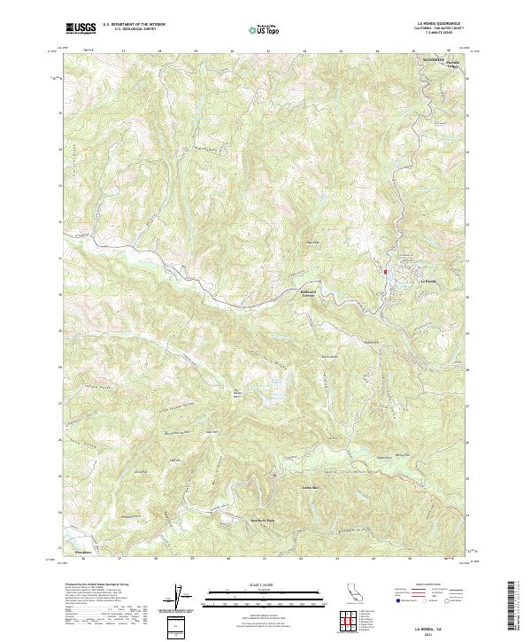
2021 Map of La Honda
USGS Topo · Published 2021About this map
La Honda sits at the heart of this coastal mountain corridor, where the winding La Honda Rd follows the descent of San Gregorio Cr toward the Pacific. The landscape is defined by the sharp elevations of the Santa Cruz Mountains, specifically the long spine of Butano Ridge and the distinct peak at Mt Ellen. To the south, small communities like Loma Mar and Dearborn Park are established along the banks of Pescadero Cr, a primary drainage for the surrounding gulches and ridges.
Find a feature on this map
93 named features on this map. Tap any name to fly to it.
Don’t see what you’re looking for? This feature index may not catch every label — zoom into the map to look around manually.
Map Details
Editions of this 2021 La Honda Map
This is the sole edition of this map. No revisions or reprints were ever made.
Other maps of this area

1897 · Palo Alto
USGS Topo · 1:62,500

1899 · Palo Alto
USGS Topo · 1:62,500

1902 · Santa Cruz
USGS Topo · 1:125,000

1940 · Halfmoon Bay
USGS Topo · 1:62,500

1940 · Ano Nuevo
USGS Topo · 1:62,500

1941 · Ano Nuevo Pt.
USGS Topo · 1:62,500

1941 · Palo Alto
USGS Topo · 1:62,500

1942 · Ano Nuevo
USGS Topo · 1:62,500

1943 · Palo Alto
USGS Topo · 1:62,500

1943 · Halfmoon Bay
USGS Topo · 1:62,500