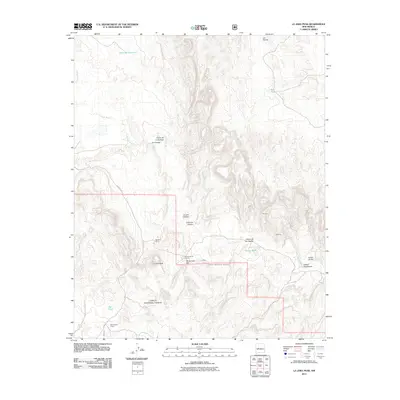
2011 Map of La Jara Peak
USGS Topo · Published 2011About this map
Rio Salado carves through the arid landscape of Socorro County, anchoring a terrain defined by deep canyons and high mesas. The influence of ranching is evident across this section of the Cibola National Forest, marked by essential water sources like Bull Tank and working sites such as Bull Pasture Corral. Small-scale settlements and ranches, including La Cienaga and Rancho de los Chavez, occupy the lower elevations near seasonal watercourses.
Find a feature on this map
20 named features on this map. Tap any name to fly to it.
Don’t see what you’re looking for? This feature index may not catch every label — zoom into the map to look around manually.
Map Details
Editions of this 2011 La Jara Peak Map
This is the sole edition of this map. No revisions or reprints were ever made.
Other maps of this area

1917 · Cerro Verde
USGS Topo · 1:125,000

1954 · Socorro
USGS Topo · 1:250,000

1956 · Mesa Aparejo
USGS Topo · 1:62,500

1958 · Socorro
USGS Topo · 1:250,000

1959 · Riley
USGS Topo · 1:62,500

1962 · Socorro
USGS Topo · 1:250,000

1964 · La Jara Peak
USGS Topo · 1:24,000

1964 · Field Ranch
USGS Topo · 1:24,000

1964 · Puertecito
USGS Topo · 1:24,000
1964 · Puerto De Los Cavadores
USGS Topo · 1:24,000