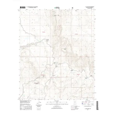
2017 Map of La Jara Peak
USGS Topo · Published 2017About this map
The high-desert terrain of northern Socorro County unfolds across this 2017 study, where the arid landscape is defined by the elevation of Sierra Lucero and the prominence of La Jara Peak. The southern portion of the map is dominated by the Cibola National Forest, a territory where survival and land use are historically dictated by the location of scattered water sources. Vital watering points like Juan De Dios Tank and Mina Tank are dispersed across the north, while a series of natural springs, including La Jara Spring, Riley Spring, and Rafael Spring, suggest the critical importance of these features for livestock and early inhabitants in this dry environment.
Find a feature on this map
33 named features on this map. Tap any name to fly to it.
Don’t see what you’re looking for? This feature index may not catch every label — zoom into the map to look around manually.
Map Details
Editions of this 2017 La Jara Peak Map
This is the sole edition of this map. No revisions or reprints were ever made.
Other maps of this area

1917 · Cerro Verde
USGS Topo · 1:125,000

1954 · Socorro
USGS Topo · 1:250,000

1956 · Mesa Aparejo
USGS Topo · 1:62,500

1958 · Socorro
USGS Topo · 1:250,000

1959 · Riley
USGS Topo · 1:62,500

1962 · Socorro
USGS Topo · 1:250,000

1964 · La Jara Peak
USGS Topo · 1:24,000

1964 · Field Ranch
USGS Topo · 1:24,000

1964 · Puertecito
USGS Topo · 1:24,000
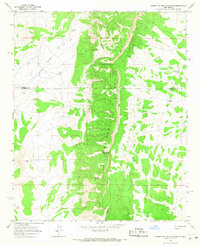
1964 · Puerto De Los Cavadores
USGS Topo · 1:24,000