Loading...
Loading map...2022 Map of La Joya
USGS Topo · Published 2022About this map
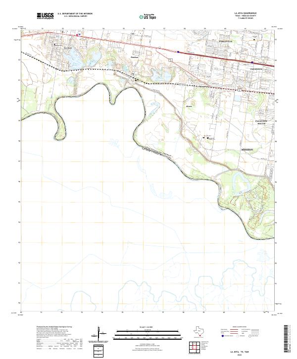
The Rio Grande snakes along the international boundary between the United States and Mexico, anchoring a landscape of dense riverside settlements and conservation areas. The map reveals the community layout of La Joya, Penitas, and Abram, where traditional grids meet the winding paths of Military RD. Cultural and genealogical history is concentrated in several local burial grounds, including the San Jose Cem and the Lakeview Cem near Walker Lake.
Find a feature on this map
92 named features on this map. Tap any name to fly to it.
Don’t see what you’re looking for? This feature index may not catch every label — zoom into the map to look around manually.
Map Details
Date Portrayed2022
Date Published2022
PublisherU.S. Geological Survey
Map TypeTopographic
Scale1:24000
Physical Dimensions24 x 29 inches
Editions of this 2022 La Joya Map
This is the sole edition of this map. No revisions or reprints were ever made.
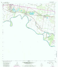
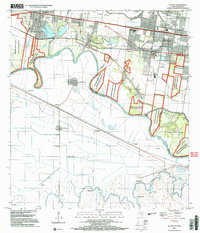
Historical Maps of Americana Grove Colonia Through Time
3 maps found
Featured Locations
Source Details
SourceU.S. Geological Survey
CopyrightPublic Domain