Loading...
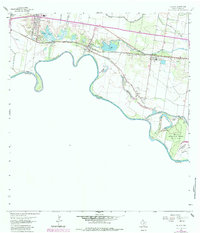
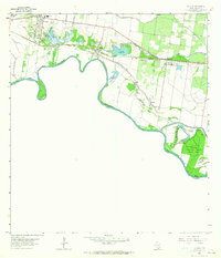
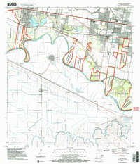
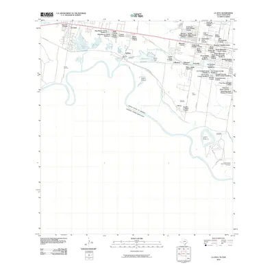
Loading map...1963 Map of La Joya
USGS Topo · Published 1984About this map
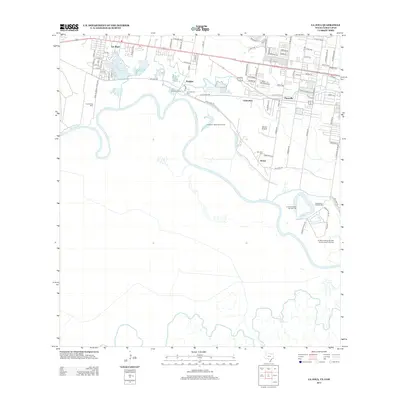
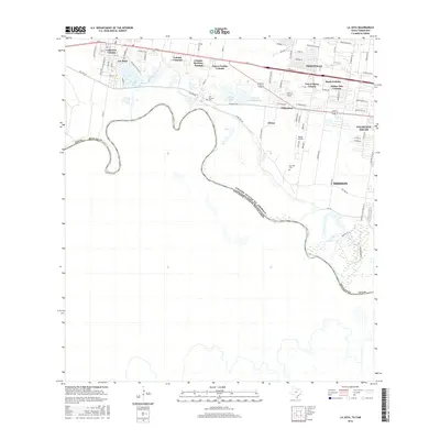
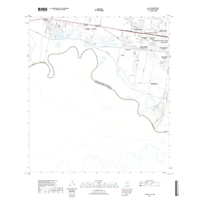
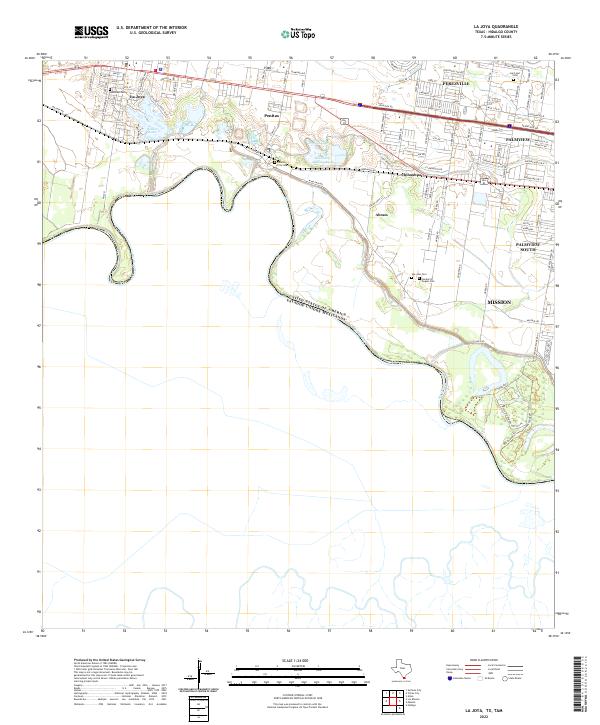
Meandering loops of the Rio Grande define the international boundary between the United States and Mexico in this 1963 survey of southern Hidalgo County. The river's shifting course is documented through several named bancos, such as Caballero Banco No 97 and La Parida Banco No 144, illustrating the complex riparian geography of the borderlands. Inland, the landscape is shaped by the Missouri Pacific railroad and the Mission Main Canal, supporting a mix of agricultural and industrial activity.
Find a feature on this map
31 named features on this map. Tap any name to fly to it.
Don’t see what you’re looking for? This feature index may not catch every label — zoom into the map to look around manually.
Map Details
Date Portrayed1963
Date Published1984
PublisherU.S. Geological Survey
Map TypeTopographic
Scale1:24,000
Physical Dimensions23 x 26.8 inches
Editions of this 1963 La Joya Map
2 editions found
Historical Maps of Mission Through Time
7 maps found
Featured Locations
Source Details
SourceU.S. Geological Survey
CopyrightPublic Domain