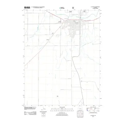
2011 Map of La Junta
USGS Topo · Published 2011About this map
The Arkansas River serves as the geographic anchor for this high plains region, where irrigation systems like the Catlin Canal and Otero Canal define the agricultural landscape. The city of La Junta appears as a structured grid in the river valley, flanked by smaller communities including North La Junta and La Junta Gardens. These settlements were historically vital hubs for transportation and trade in southeastern Colorado, established where the river and trails met.
Find a feature on this map
36 named features on this map. Tap any name to fly to it.
Don’t see what you’re looking for? This feature index may not catch every label — zoom into the map to look around manually.
Map Details
Editions of this 2011 La Junta Map
This is the sole edition of this map. No revisions or reprints were ever made.
Other maps of this area

1891 · Catlin
USGS Topo · 1:125,000

1891 · Higbee
USGS Topo · 1:125,000

1891 · Las Animas
USGS Topo · 1:125,000

1891 · Timpas
USGS Topo · 1:125,000

1893 · Higbee
USGS Topo · 1:125,000

1893 · Las Animas
USGS Topo · 1:125,000

1893 · Catlin
USGS Topo · 1:125,000

1894 · Timpas
USGS Topo · 1:125,000

1953 · Cheraw
USGS Topo · 1:24,000

1953 · Hadley
USGS Topo · 1:24,000