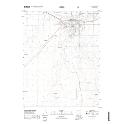
2019 Map of La Junta
USGS Topo · Published 2019About this map
La Junta serves as a central hub on this 2019 survey, situated where the Arkansas River winds through Otero County. The town's grid is well-defined, reaching from the riverbanks south toward the campus of Otero Junior College and several prominent community landmarks including Fairview Cem and Calvary Cem. To the northwest, the small settlement of Ormega sits along the rail corridor, while North La Junta occupies the lowlands across the river.
Find a feature on this map
64 named features on this map. Tap any name to fly to it.
Don’t see what you’re looking for? This feature index may not catch every label — zoom into the map to look around manually.
Map Details
Editions of this 2019 La Junta Map
This is the sole edition of this map. No revisions or reprints were ever made.
Other maps of this area

1891 · Catlin
USGS Topo · 1:125,000

1891 · Higbee
USGS Topo · 1:125,000

1891 · Las Animas
USGS Topo · 1:125,000

1891 · Timpas
USGS Topo · 1:125,000

1893 · Higbee
USGS Topo · 1:125,000

1893 · Las Animas
USGS Topo · 1:125,000

1893 · Catlin
USGS Topo · 1:125,000

1894 · Timpas
USGS Topo · 1:125,000

1953 · Cheraw
USGS Topo · 1:24,000

1953 · Hadley
USGS Topo · 1:24,000