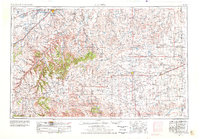
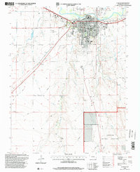
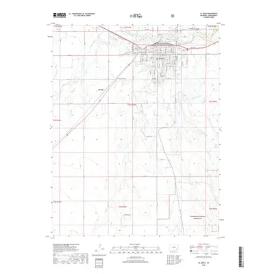
1955 Map of La Junta
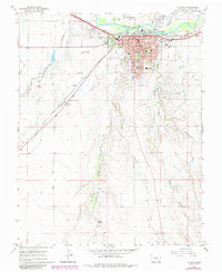
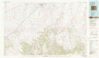
USGS Topo · Published 1978About this map
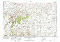
The Arkansas River corridor and its surrounding high plains define this mid-century landscape where southeastern Colorado meets Kansas. Centered on the transit hub of La Junta, the map illustrates a region driven by the Atchison Topeka and Santa Fe and Missouri Pacific railroads, which facilitated the movement of goods and people across the vast shortgrass prairie. To the south, the terrain dramatically changes as it rises toward Mesa de Maya, Black Mesa, and Carrizo Mountain, revealing a complex system of canyons like Freezout Canyon. Small agricultural settlements and vital stops such as Lycan Post Office, Stonington, and Campo are scattered across the plains, while the presence of a Bomb target (abandoned) northwest of the Dixie Bluffs serves as a reminder of the era's mid-century military activity. Drainage patterns are meticulously detailed, showing how Two Butte Creek feeds into the Two Butte Reservoir, a critical water resource for the arid Prowers and Baca County region.
Find a feature on this map
59 named features on this map. Tap any name to fly to it.
Don’t see what you’re looking for? This feature index may not catch every label — zoom into the map to look around manually.
Map Details
Editions of this 1955 La Junta Map
3 editions found

Historical Maps of La Junta Through Time
11 maps found
1955 La Junta
Otero County, CO

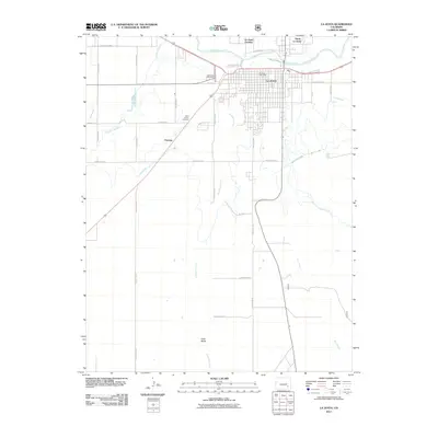
1958 La Junta
Otero County, CO
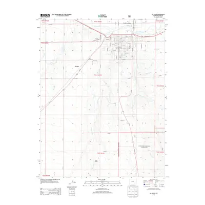
1966 La Junta
Otero County, CO

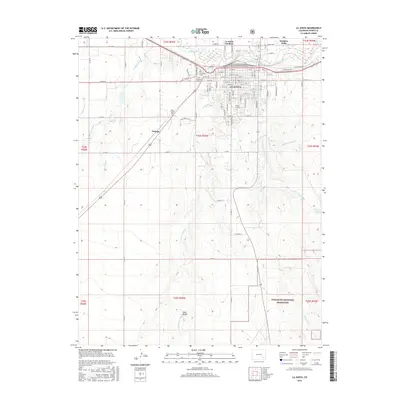
1968 La Junta
Otero County, CO
1982 La Junta
Otero County, CO
1996 La Junta
Otero County, CO
2011 La Junta
Otero County, CO
2013 La Junta
Otero County, CO
2016 La Junta
Otero County, CO
2019 La Junta
Otero County, CO
2022 La Junta
Otero County, CO