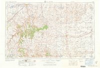
1968 Map of La Junta
USGS Topo · Published 1968About this map
The Arkansas River corridor and the high plains of Southeast Colorado are meticulously documented in this 1968 revision of a mid-century survey. Irrigation infrastructure, vital to the region's agricultural economy, is prominent, including the Otero Canal and the waters of Muddy Creek Reservoir. Further east toward the Kansas border, the landscape is defined by the cattle-ranching and farming network, evidenced by numerous named family sites such as the Newman Ranch and Strandberg Brothers Ranch.
Find a feature on this map
73 named features on this map. Tap any name to fly to it.
Don’t see what you’re looking for? This feature index may not catch every label — zoom into the map to look around manually.
Map Details
Editions of this 1968 La Junta Map
This is the sole edition of this map. No revisions or reprints were ever made.
Other maps of this area
1890 · Granada
USGS Topo · 1:125,000
1891 · Catlin
USGS Topo · 1:125,000
1891 · Albany
USGS Topo · 1:125,000
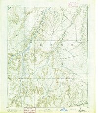
1891 · Higbee
USGS Topo · 1:125,000
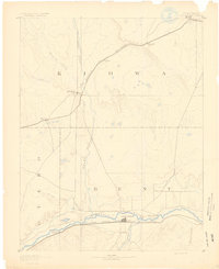
1891 · Las Animas
USGS Topo · 1:125,000
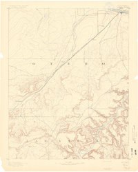
1891 · Timpas
USGS Topo · 1:125,000
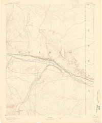
1891 · Nepesta
USGS Topo · 1:125,000
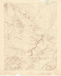
1891 · Apishapa
USGS Topo · 1:125,000
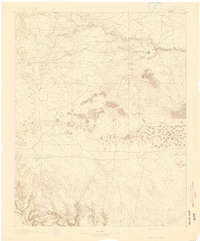
1891 · Springfield
USGS Topo · 1:125,000
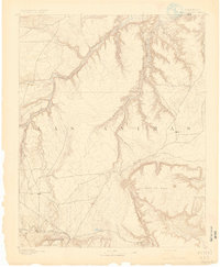
1891 · Mesa De Maya
USGS Topo · 1:125,000