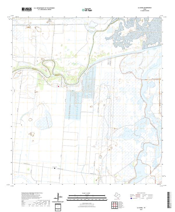
2022 Map of La Leona
USGS Topo · Published 2022About this map
Arroyo Colorado and its intricate waterway system dominate this part of the Lower Rio Grande Valley, where modern infrastructure meets the coastal wetlands of South Texas. The landscape is defined by the winding Resaca de los Cuates and the engineered precision of the North Floodway and Arroyo Colorado Cutoff. This network of canals and natural resacas illustrates the region's historical reliance on sophisticated water management for both irrigation and flood control in Cameron County.
Find a feature on this map
29 named features on this map. Tap any name to fly to it.
Don’t see what you’re looking for? This feature index may not catch every label — zoom into the map to look around manually.
Map Details
Editions of this 2022 La Leona Map
This is the sole edition of this map. No revisions or reprints were ever made.
Other maps of this area

1929 · Rio Hondo
USGS Topo · 1:24,000

1929 · La Coma
USGS Topo · 1:24,000

1929 · Buena Vista
USGS Topo · 1:24,000

1930 · La Leona
USGS Topo · 1:24,000

1930 · Laguna Atascosa
USGS Topo · 1:24,000

1932 · Rio Hondo
USGS Topo · 1:31,680

1933 · Paso Real
USGS Topo · 1:31,680

1934 · La Coma
USGS Topo · 1:31,680

1935 · Buena Vista
USGS Topo · 1:31,680

1936 · La Leona
USGS Topo · 1:31,680
Featured Places
- Schwartz Colonia, TX
- XX Farms Colonia, TX
- Arroyo City, TX
- Arroyo City Subdivision Colonia, TX
- La Leona, TX