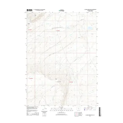
2015 Map of La Marsh Creek West
USGS Topo · Published 2015About this map
The Continental Divide defines the hydrological and topographic character of this Wyoming high-country landscape, where seasonal drainages flow through a series of significant geographic landmarks. The Atlantic Rim dominates the northwestern portion of the map, while Miller Hill rises to the south, overlooking the remote Miller Hill Lake. This 2015 survey illustrates the modern management of these public lands, showing the path of the Continental Divide National Scenic Trail as it traverses the high desert and mountain slopes. Infrastructure for water management and livestock is evident in the presence of the Little Sage Creek Dam and Teton Reservoir. Transportation through this often isolated terrain is maintained via historic corridors like Bridger Pass Rd and Bolten Rd, which provide access to varied features such as Beckman Canyon and the headwaters of La Marsh Cr.
Find a feature on this map
28 named features on this map. Tap any name to fly to it.
Don’t see what you’re looking for? This feature index may not catch every label — zoom into the map to look around manually.
Map Details
Editions of this 2015 La Marsh Creek West Map
This is the sole edition of this map. No revisions or reprints were ever made.
Other maps of this area

1932 · Savery
USGS Topo · 1:96,000

1940 · Savery
USGS Topo · 1:125,000

1954 · Rawlins
USGS Topo · 1:250,000

1956 · Bridger Pass
USGS Topo · 1:62,500

1956 · Bolten Ranch
USGS Topo · 1:62,500

1958 · Rawlins
USGS Topo · 1:250,000

1961 · Middlewood Hill
USGS Topo · 1:24,000

1961 · Pine Grove Ranch
USGS Topo · 1:24,000

1961 · Pole Gulch
USGS Topo · 1:24,000

1962 · Rawlins
USGS Topo · 1:250,000