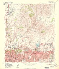
1953 Map of La Mesa
USGS Topo · Published 1959About this map
Mission Gorge and the rugged canyonlands north of La Mesa dominate this mid-century survey, showcasing a landscape in transition as postwar suburban expansion pushes toward the foothills. The residential street grids of Normal Heights, Kensington Park, and East San Diego define the southwestern corner, while San Diego State College sits at the edge of the developing Alvarado Freeway corridor.
Find a feature on this map
51 named features on this map. Tap any name to fly to it.
Don’t see what you’re looking for? This feature index may not catch every label — zoom into the map to look around manually.
Map Details
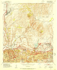
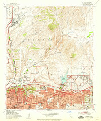
Editions of this 1953 La Mesa Map
3 editions found
Other maps of this area

1893 · El Cajon
USGS Topo · 1:62,500

1901 · Elcajon
USGS Topo · 1:62,500

1903 · Cuyamaca
USGS Topo · 1:125,000

1903 · La Jolla
USGS Topo · 1:62,500

1903 · Elcajon
USGS Topo · 1:62,500

1904 · San Diego
USGS Topo · 1:62,500

1904 · Southern California Sheet No. 2
USGS Topo · 1:250,000

1930 · La Jolla
USGS Topo · 1:62,500

1930 · San Diego
USGS Topo · 1:62,500

1939 · El Cajon
USGS Topo · 1:62,500