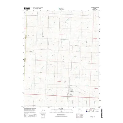
2015 Map of La Monte
USGS Topo · Published 2015About this map
La Monte serves as the primary hub of this western Pettis County landscape, where the town grid meets a network of rural routes like La Monte Rd and Carroll Rd. The terrain is defined by a dense web of drainages, including the South Fork Blackwater River and its various tributaries such as Brushy Cr and Beaverdam Cr. North of the town center, the small settlement of Stokley sits near the intersection of Stokley Rd and Winston Rd. Genealogists will find the La Monte Cemetery north of the main village, while the broader geography shows a transition from structured town planning to the meandering paths of Little Muddy Cr and Wolf Cr. The map preserves the specific road names and township boundaries that defined this agricultural and residential corridor during the mid-2010s.
Find a feature on this map
63 named features on this map. Tap any name to fly to it.
Don’t see what you’re looking for? This feature index may not catch every label — zoom into the map to look around manually.
Map Details
Editions of this 2015 La Monte Map
This is the sole edition of this map. No revisions or reprints were ever made.
Other maps of this area

1885 · Warrensburg
USGS Topo · 1:125,000

1887 · Sedalia
USGS Topo · 1:125,000

1887 · Warrensburg
USGS Topo · 1:125,000

1894 · Sedalia
USGS Topo · 1:125,000

1894 · Warrensburg
USGS Topo · 1:125,000

1917 · Knobnoster
USGS Topo · 1:62,500

1939 · Sweet Springs
USGS Topo · 1:62,500

1940 · Sweet Springs
USGS Topo · 1:62,500

1941 · Sweet Springs
USGS Topo · 1:62,500

1944 · Sedalia West
USGS Topo · 1:24,000