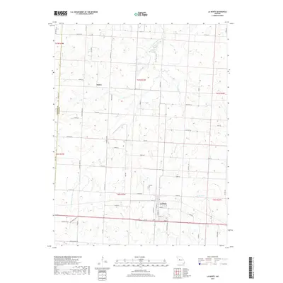
2017 Map of La Monte
USGS Topo · Published 2017About this map
La Monte serves as the primary hub for this portion of the northern Missouri plains, where the grid-based agricultural landscape is defined by the winding course of the S Fork Blackwater River. This 2017 study illustrates the enduring rural structure of the region, anchored by the town and the smaller settlement of Stokley to the northwest. Local history is etched into the terrain through features like the La Monte Cem, while a dense network of country roads such as W Prairie Grove Rd and La Monte Rd provides access to the surrounding farmsteads.
Find a feature on this map
64 named features on this map. Tap any name to fly to it.
Don’t see what you’re looking for? This feature index may not catch every label — zoom into the map to look around manually.
Map Details
Editions of this 2017 La Monte Map
This is the sole edition of this map. No revisions or reprints were ever made.
Other maps of this area

1885 · Warrensburg
USGS Topo · 1:125,000

1887 · Sedalia
USGS Topo · 1:125,000

1887 · Warrensburg
USGS Topo · 1:125,000

1894 · Sedalia
USGS Topo · 1:125,000

1894 · Warrensburg
USGS Topo · 1:125,000

1917 · Knobnoster
USGS Topo · 1:62,500

1939 · Sweet Springs
USGS Topo · 1:62,500

1940 · Sweet Springs
USGS Topo · 1:62,500

1941 · Sweet Springs
USGS Topo · 1:62,500

1944 · Sedalia West
USGS Topo · 1:24,000