2021 Map of La Monte
USGS Topo · Published 2021About this map
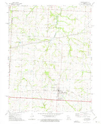
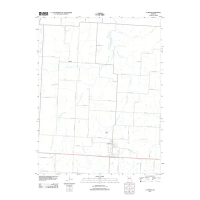
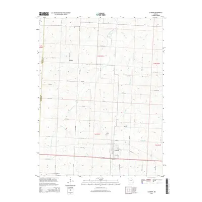
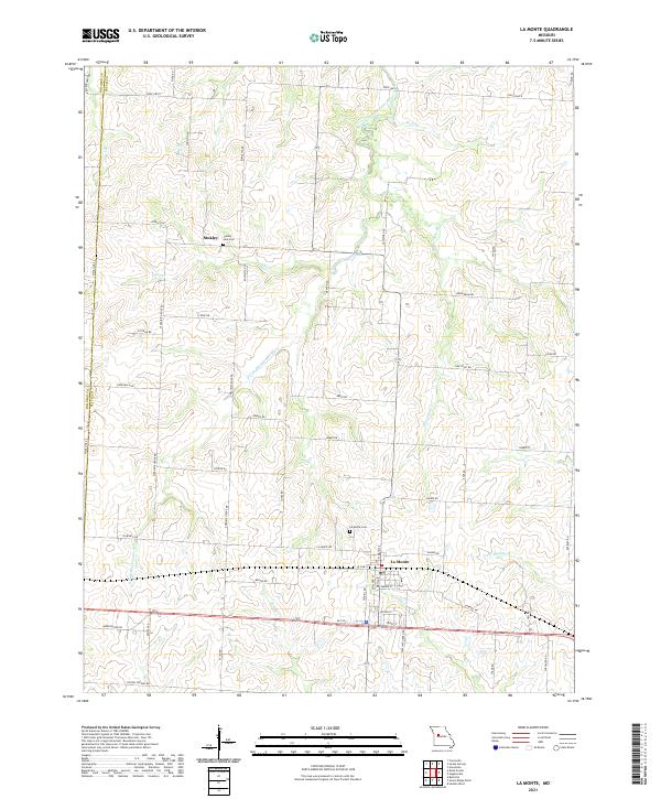
La Monte serves as the primary hub in this western Missouri landscape, situated near the intersection of several local routes such as La Monte Rd and N Main St. The town's layout and surrounding rural sections are defined by a network of agricultural roads and waterways, including the winding South Fork Blackwater River and its various tributaries like Brushy Cr and Little Muddy Cr. For those researching local families, La Monte Cem and County Line Cem are significant landmarks, the latter marking the boundary between Johnson and Pettis counties.
Find a feature on this map
61 named features on this map. Tap any name to fly to it.
Don’t see what you’re looking for? This feature index may not catch every label — zoom into the map to look around manually.
Map Details
Editions of this 2021 La Monte Map
This is the sole edition of this map. No revisions or reprints were ever made.
Historical Maps of La Monte Through Time
5 maps found